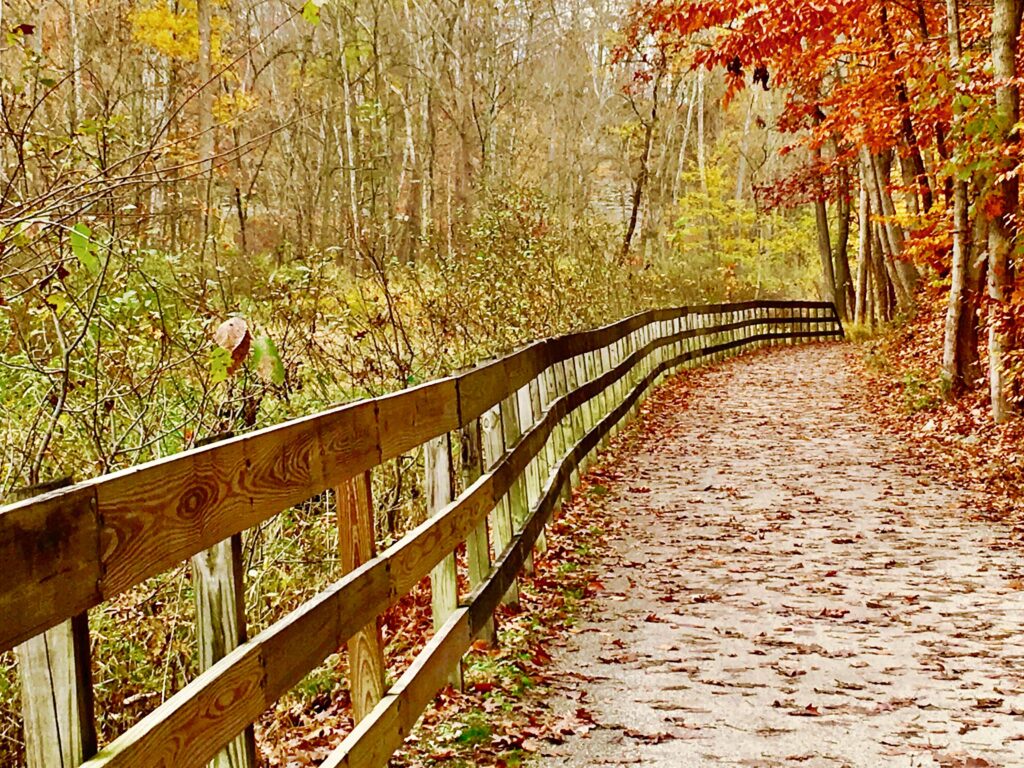
The Farmington Canal State Park Trail is a living reminder of the past in the US state of Connecticut, which has evolved from a 19th-century canal into a modern walking and cycling trail. It is one of the key parts of the larger Farmington Canal Heritage Trail, which connects many small towns, natural areas and historical sites in this part of New England.
In the 21st century, this trail attracts those who enjoy leisurely walks in the fresh air, cycling, running and rollerblading. It offers a unique combination of historical traces and natural landscapes. This makes it interesting from the point of view of physical activity and as a cultural space with a multi-layered history.
How the canal came to be
The Farmington Canal dates back to the early 19th century. In 1825, ideas and plans for its construction were aimed at connecting the port areas of southern Connecticut with inland areas to facilitate trade and transport. It was supposed to become a waterway that would optimise the transport of goods, bypassing the longer route along the Connecticut River. In the 19th century, rail transport became dominant, and the canal proved to be less profitable than the modern railway line.
Gradually, the waterway gave way to a new type of transport – railways built on and alongside it. The railway operated in the region until the 1980s, when it was abandoned due to a decline in freight and passenger traffic. Then the idea arose to transform the old strip into a space for walking and recreation in order to preserve traces of history and use them for the modern needs of the population and visitors to the state.
Work to transform the abandoned corridor into a trail began in the 1990s, with the participation of local community organisations that sought to preserve cultural heritage and create a space for active recreation. Gradually, paving began, signs were installed, and infrastructure suitable for pedestrians, cyclists, and other users was created.
How the trail is laid out
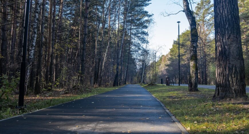
Farmington Canal State Park Trail is a multi-purpose space that’s open all year round. Most of the trail is covered with solid asphalt or a well-compacted layer of fine gravel, making it suitable for walking and riding most types of bikes. Activities that can be enjoyed on the trail:
- Walking on any section of the trail, from a few hundred metres to several miles in one direction.
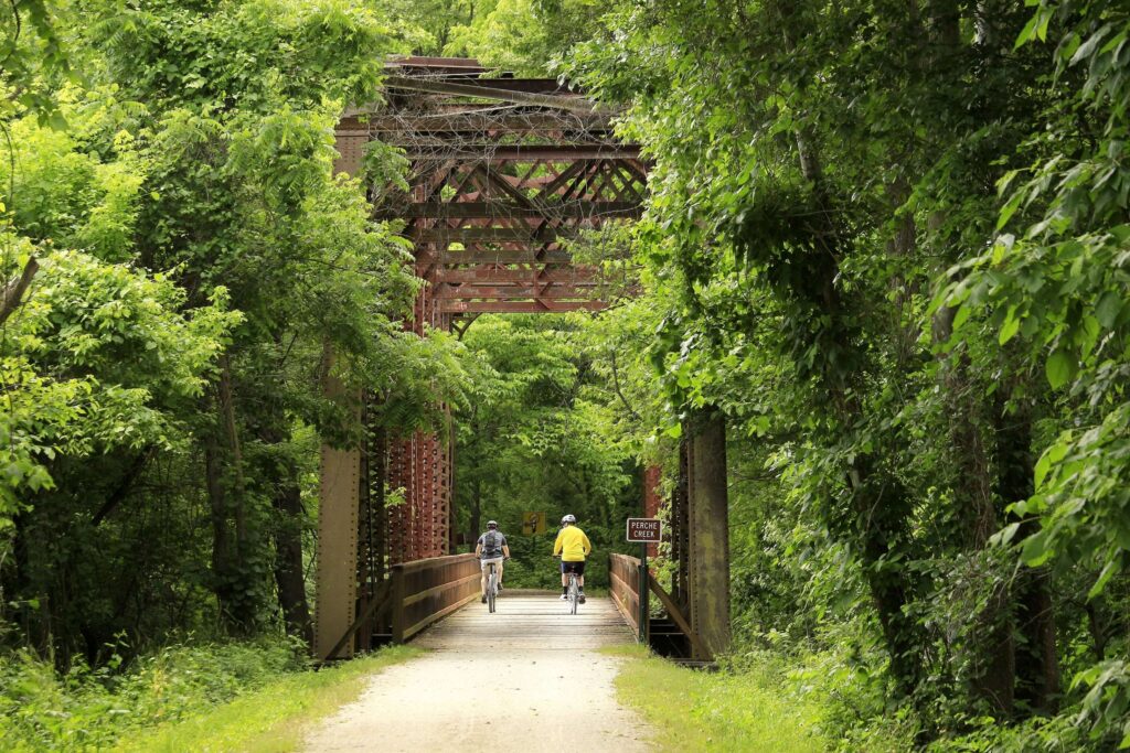
- Cycling trips of varying lengths and difficulty, including family rides.
- Jogging or long-distance trails for those who prefer running outdoors.
- Rollerblading and skateboarding (where the surface allows).
- Skiing and Nordic walking in winter.
The trail is wide enough for different users to use it at the same time without interfering with each other. Crossings through urban areas are equipped with pedestrian crossings and, where necessary, additional safety zones.
Geography and locations along the route
The Farmington Canal State Park Trail runs through several small towns in Connecticut, such as Southington, Cheshire, and Hamden. This section of the trail is approximately 17 miles long, stretching from Lazy Lane in Southington to Todd Street in Hamden, and is considered the most well-developed and suitable for regular use.
A distinctive feature of the route is its numerous access points: car parks, crossings and connections to other trails make it convenient for walks of varying lengths. Important entry points include the Cornwall Street and North Brooksvale Road area in Cheshire and other points along the way where the trail intersects with city streets or ramps.
A central and historically significant stop on the trail is Lock 12. This is one of the surviving and restored locks of the old canal. This location offers a view of the engineering structure of the era and a small museum and picnic area where you can linger and learn about the history of the canal.
Key points along the route
The Farmington Canal State Park Trail passes through a number of settlements and natural areas, each with its own character.
- Cheshire. Here, the trail passes through residential areas and historic sections of the canal that have been preserved since the days when it was in active use.
- Hamden. In the Todd Street area, the trail approaches residential neighbourhoods and parks, as well as the start of other natural areas.
- Southington. This is the southern section of the route, where the trail begins or ends depending on where you start your journey. There are also access points and car parks here.
These locations help you plan your trip along the trail in sections, choosing short stretches for a day trip or long routes for a whole day.
Lock 12 Station: a key historical site
One of the most notable locations on the Farmington Canal State Park Trail is Lock 12 Historical Park. This is a well-preserved part of the lock system that regulated ship traffic on the canal in the 19th century.
The site features the lock structure and a recreation area with a small museum area, picnic areas, and information panels. A visit to Lock 12 provides a deeper understanding of how the canal worked, the engineering solutions that were used, and how people travelled by water in those days.
Final Thoughts
The Farmington Canal State Park Trail is a place where history and modernity meet, where traces of the 19th-century canal are woven into the contemporary urban and natural environment. Walking here is an opportunity to feel the spirit of the times, enjoy views of natural landscapes, and enjoy active recreation in the fresh air.
The Farmington Canal State Park Trail remains one of the best recreational trails in Connecticut, offering routes of varying lengths and difficulty, numerous access points, and a rich history that can be read literally underfoot.